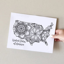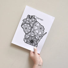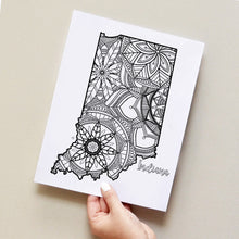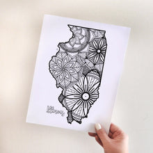
East North Central US States Map Coloring Pages, instant download. Includes 6 designs, save over 20% by buying as a group.
While we're all spending more time at home these days, spend a few minutes each day relaxing with our map coloring pages. Our coloring pages are a great way to escape from what's going on, take a break and enjoy a bit of 'me time'.
- Includes, USA, Illinois, Indiana, Michigan, Ohio, and Wisconsin.
- This is a digital download for you to print at home, or to use on an ipad coloring app, such as Procreate.
- You will receive 1 PDF or 1 zipped JPEG file containing 6 original black and white colouring page designs by Ta Muchly.
- PDF size is set to 8.5 x 11" but can be scaled to be larger if you prefer.
- This is a digital download, no physical product will be sent.
- Artwork is for personal use only and must not be shared or sold for commercial use.
- Copyright Ta Muchly.
Watch me color the Illinois State Map Coloring Page in real time below!


